GLONASS JSC Tests Satellite-Independent Navigation for Agriculture
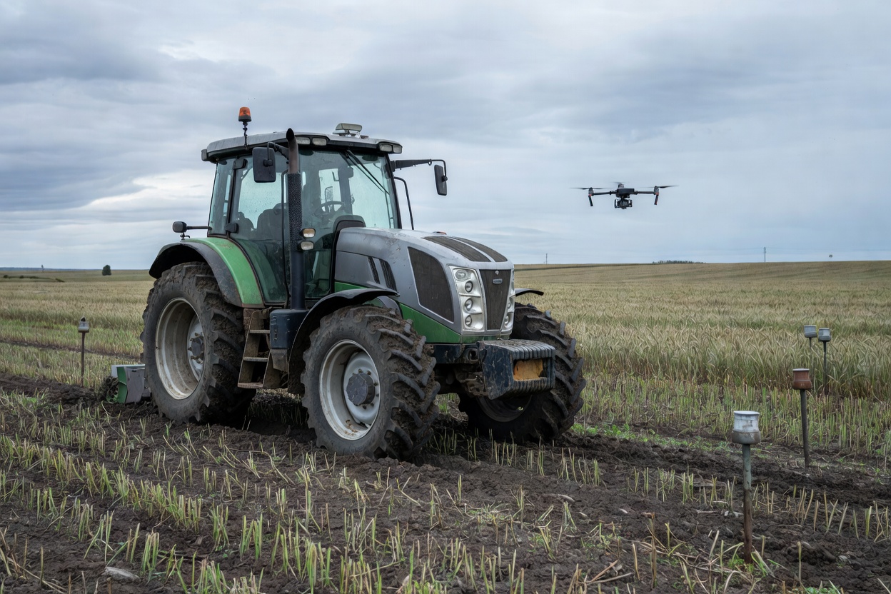
GLONASS JSC has successfully tested a satellite-free navigation system for agricultural machinery, capable of covering 400 hectares with centimeter-level precision.

GLONASS JSC has successfully tested a satellite-free navigation system for agricultural machinery, capable of covering 400 hectares with centimeter-level precision.

AO GLONASS has introduced a satellite-independent navigation system for agricultural machinery, offering centimeter-level precision and protection against electronic warfare.
Huawei has unveiled its Star Track positioning technology, which enhances navigation accuracy for vehicles, pedestrians, and skiers across various complex environments.

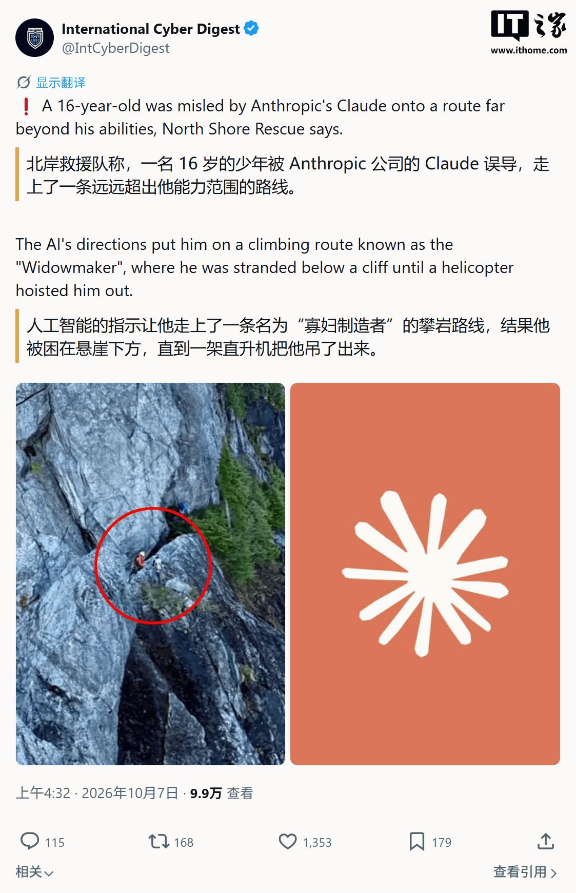
A 16-year-old hiker in Canada was rescued by helicopter after a route planned by the Claude AI led him into dangerous, gear-intensive terrain on Crown Mountain.

Startup Xona Space Systems is launching its first six satellites this month to provide a commercial, high-precision navigation alternative to GPS for autonomous systems.

Roscosmos has released artistic visualizations of five space objects studied by the ART-XC X-ray telescope, while also testing new autonomous navigation technology using pulsars.

Startup Xona Space Systems is set to launch its first six satellites this month, aiming to provide a high-precision commercial alternative to GPS.

Roscosmos has showcased new visualizations from the ART-XC X-ray telescope, which is currently testing pulsar-based autonomous navigation for deep space missions.

MIPT researchers have created a navigation system that uses mobile network signals to track moving objects with an accuracy of 3 to 20 meters.
A DIY navigation project using ESP32 aims to protect smartphones from vibration damage by replacing handlebar mounts with a compact HUD system.
Taxi aggregator XCar has integrated 2GIS mapping and navigation technologies to support its expansion into the Moscow market and improve service efficiency.
Italian startup NaviGate has validated its autonomous orbit determination software, NaviCode Caravel, during an in-orbit demonstration on D-Orbit’s ION Satellite Carrier.

Baidu has released the V22 version of its mapping platform, featuring upgraded lane-level navigation, AI-driven parking support, and enhanced safety monitoring systems.

Sitronics KT has supplied its proprietary Shkiper electronic charting system to the Yeniseyrechtrans administration to support maritime navigation in the Yenisey region.
A new GPU-based approach for autonomous robot navigation converts complex 3D sensor data into efficient 2.5D traversability maps for real-time path planning.

Excavators are now utilizing intelligent guidance software to automate trenching, significantly reducing the need for manual adjustments and specialized operator skills.
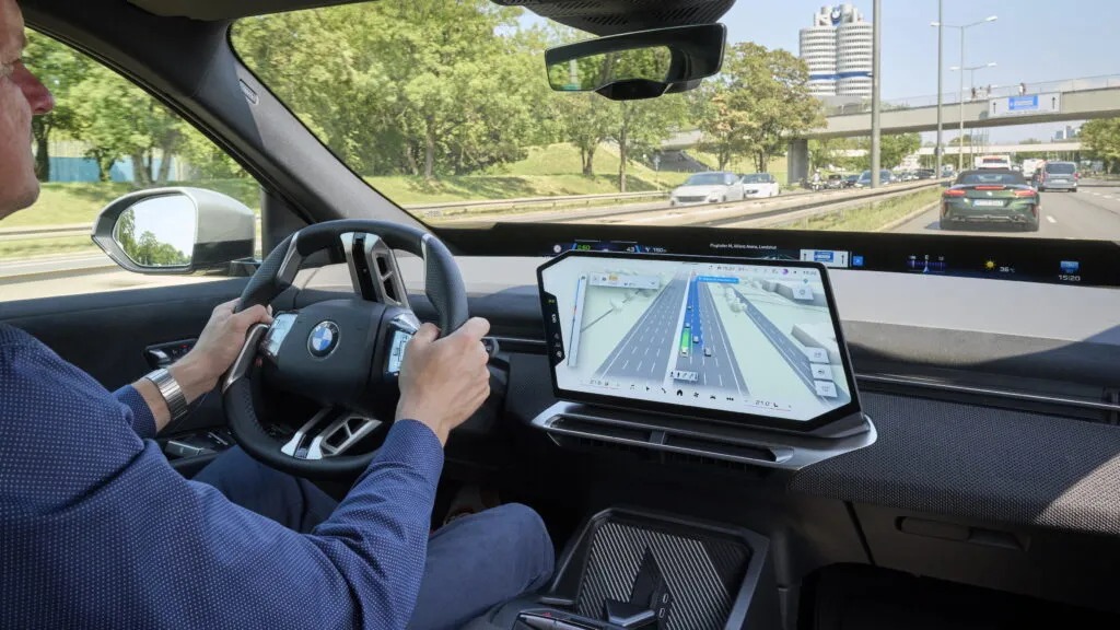
BMW will introduce a 3D interface in October 2026 that merges navigation and driver assistance data to improve transparency in vehicle decision-making.

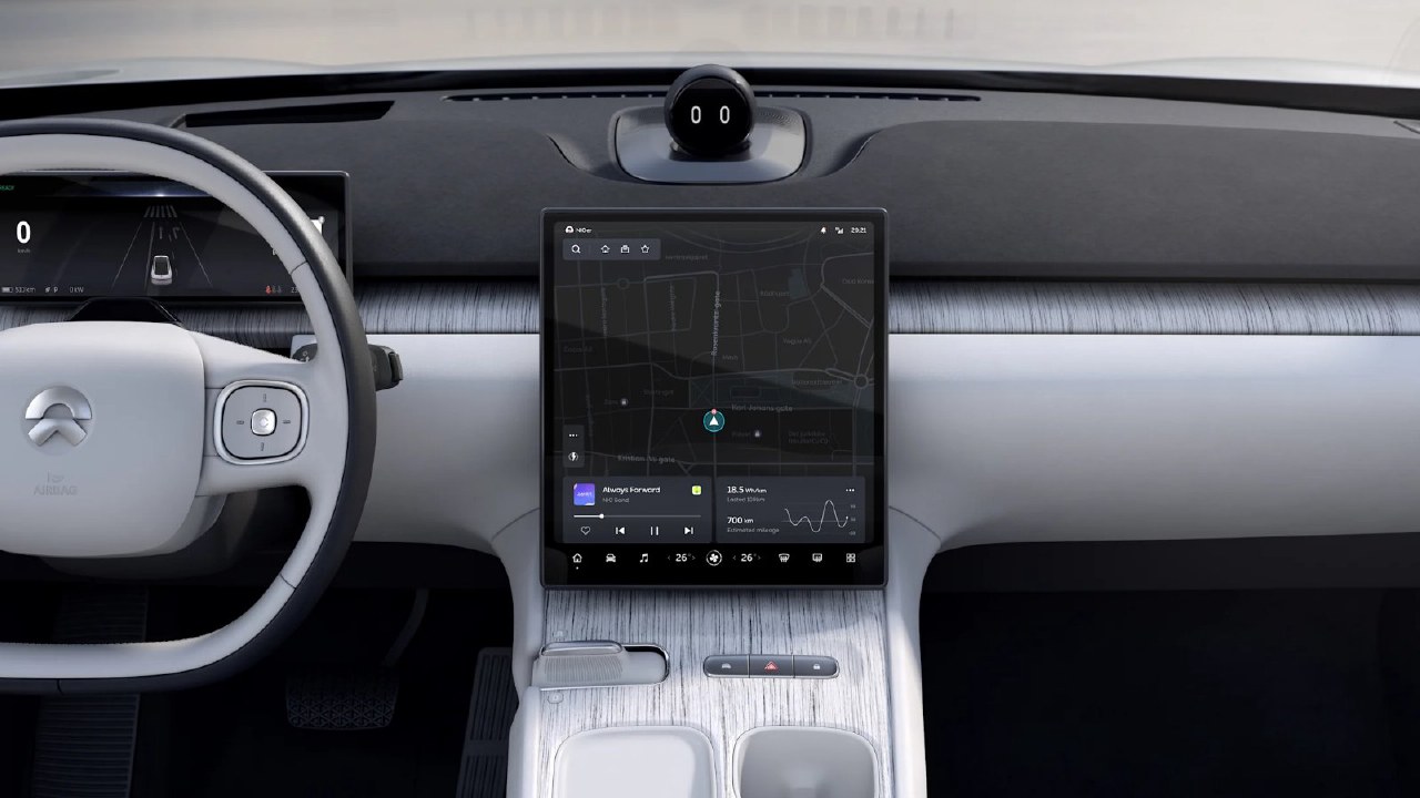
Nio is extending its partnership with HERE Technologies to integrate real-time mapping services across its entire European vehicle lineup, supporting future assisted driving and AI capabilities.

Amap has introduced a new safety-focused motorcycle navigation voice pack featuring racing champion Zhang Xue, alongside a free 3D digital vehicle icon.
State procurement of GLONASS navigation systems has nearly doubled over five years, reaching 1.3 ₽ billion in 2025, with projections suggesting further growth toward 2 ₽ billion.