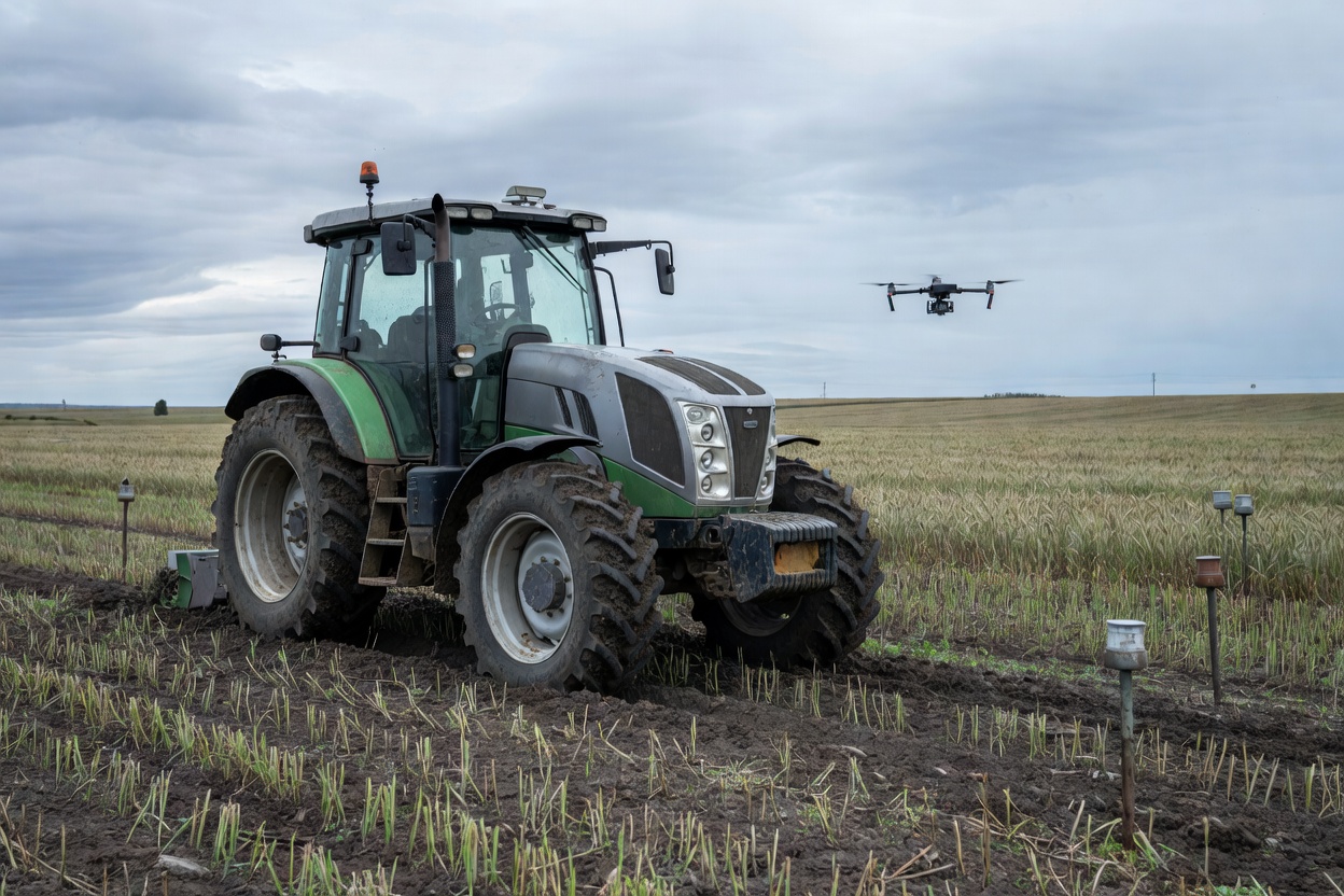
The system, developed by GLONASS JSC, operates independently of satellite signals. It utilizes four mobile radio beacons, each measuring up to 20 cm, to establish a navigation field covering an area of up to 400 hectares. The hardware is installed along the perimeter of the field, while onboard devices transmit real-time location data.
Deployment of the navigation infrastructure takes up to 30 minutes, with solar panels providing the necessary power. The solution is compatible with various types of agricultural machinery and drones. It ensures precise positioning down to the centimeter, even when subjected to electronic warfare interference.
Testing of the technology took place at the Novokugultinskoye agricultural complex in the Stavropol Territory. The trials involved Rostselmash machinery and were conducted in the presence of representatives from the Russian Ministry of Agriculture and industry experts.
The navigation system integrates components of the ERA-GLONASS state information system and employs cryptographic protection for data security. Following the successful trials, GLONASS JSC has announced that it is prepared to commence serial production of the system for the domestic agricultural sector.