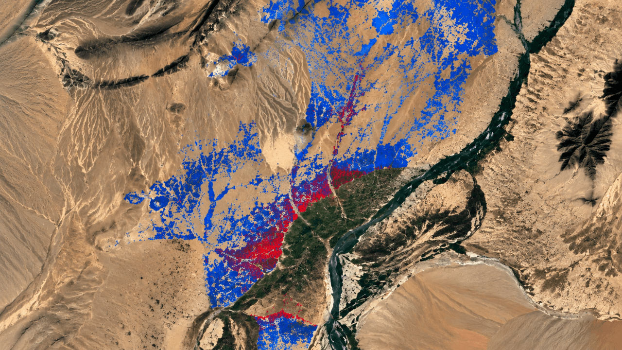
Finnish space-tech firm Kuva Space completed a pilot project with a European security stakeholder to monitor illicit crops using hyperspectral satellites and AI. The study focused on opium poppy cultivation in Afghanistan, combining data from the company's Hyperfield-1 satellites with the EU's Sentinel-2 mission.
During the pilot, the system analyzed 248,889 agricultural fields in Helmand Province, flagging 8,835 as potential poppy sites. Between January and June 2026, the satellites captured 363 hyperspectral images covering 648,450 square kilometers. The model achieved 75 percent accuracy, outperforming the 71 percent accuracy of Sentinel-2 alone.
Kuva Space used a proprietary model to map field boundaries with a geolocation accuracy of 21.75 meters. The system identifies crops by analyzing spectral signatures across narrow bands, which helps detect subtle vegetation differences. This approach aims to reduce false positives, allowing authorities to prioritize areas for detailed investigation.
The company plans to improve accuracy to 90 percent by utilizing second-generation Hyperfield-2 satellites and integrating additional data sources like SAR and weather reports. Kuva Space is currently expanding its monitoring efforts to Myanmar and intends to broaden the range of detectable crops based on market demand.