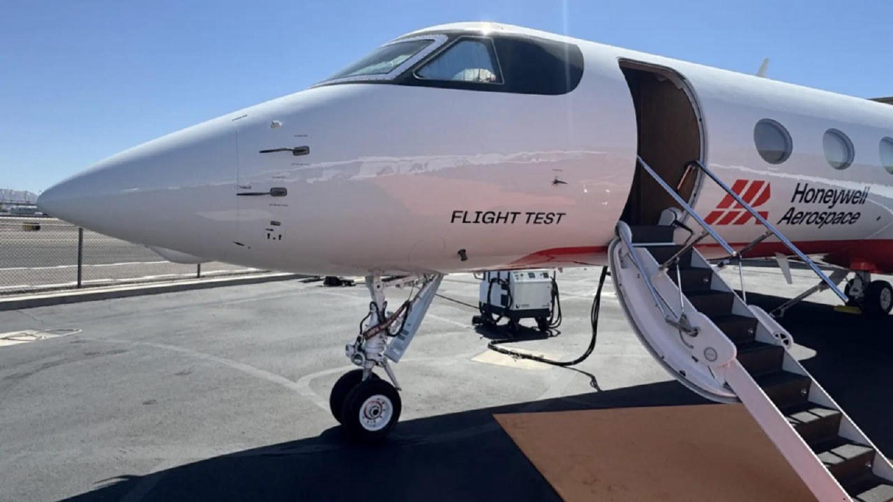
The MagNav system utilizes high-sensitivity quantum magnetic sensors to detect minor variations in the Earth's magnetic field caused by the crust's characteristics. These readings are then compared with a pre-existing magnetic map to determine the aircraft's coordinates.
The test flight involved an Embraer 170 aircraft flying from the Puget Sound area near Seattle to the southern part of Alaska and back. During this mission, the aircraft spent 4 hours and 23 minutes over the Pacific Ocean without relying on GPS.
According to the developers, magnetic navigation increased location accuracy by 89% compared to traditional backup methods. The navigation data was displayed to the pilots in real-time on standard tablets.
The MagNav program began in 2024 as part of the Transition of Quantum Sensing initiative. Honeywell Aerospace is responsible for creating the prototype. The next phase of testing will involve a Boeing C-17 Globemaster III military transport aircraft.