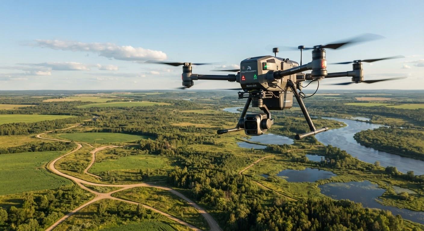
The Geoscan group has introduced an optical navigation system for drones that enables flight without GPS or GLONASS signals. The technology relies on an onboard camera that compares real-time terrain footage with pre-loaded maps generated from satellite imagery.
Geoscan CEO Alexey Yuretsky stated that the development addresses challenges such as signal interference, jamming, and spoofing. The company initiated pilot testing of the navigation system in 2026 to ensure reliable operations in environments where satellite data is unavailable.
During the Dronosapiens Games, organized by the Aeronext association, the Geoscan 201 drone successfully completed a flight route without manual intervention. The device autonomously determined its location and altitude, securing first place in the autonomous navigation category.
The system is designed for long-range missions spanning hundreds of kilometers, making it suitable for monitoring large areas. Geoscan is currently developing a thermal imaging integration to enable optical navigation capabilities during nighttime operations.