
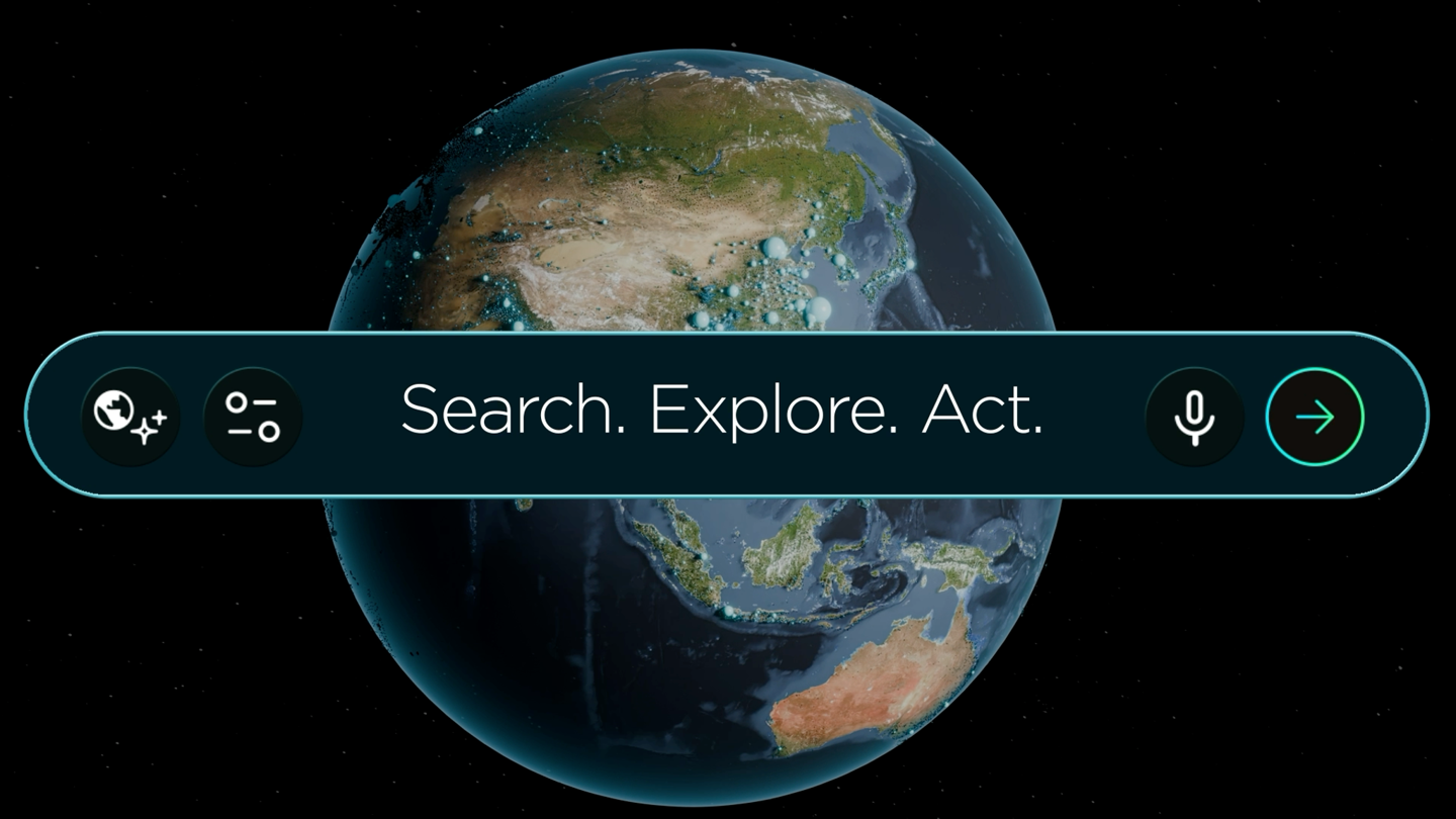
Planet Labs has launched the Planet AI application, which integrates large language models with over a decade of global satellite imagery. The tool allows users to search, observe, and analyze changes on the Earth's surface using natural language queries, moving away from traditional GIS-based remote sensing.
The service is currently available for free at ai.planet.com for users with a Planet Insights account. The interface combines maps with a chat feature, enabling users to identify new construction, track forest changes, or monitor specific regions. The system generates side-by-side comparisons and time-lapse videos based on verifiable raw satellite data to minimize AI hallucinations.
The platform offers three core functions: searching for visual features across large areas, investigating historical changes over the past ten years, and conducting deep analysis. The latter allows users to upload external data like CSV files or images, set up trend tracking, and generate automated reports.
Early adopters are utilizing the tool for land management, environmental compliance, and habitat protection. For instance, compliance teams can identify industrial sites requiring inspection near waterways in minutes, a task that previously required days of manual GIS analysis. This development is part of Planet's Planetary Intelligence strategy.