
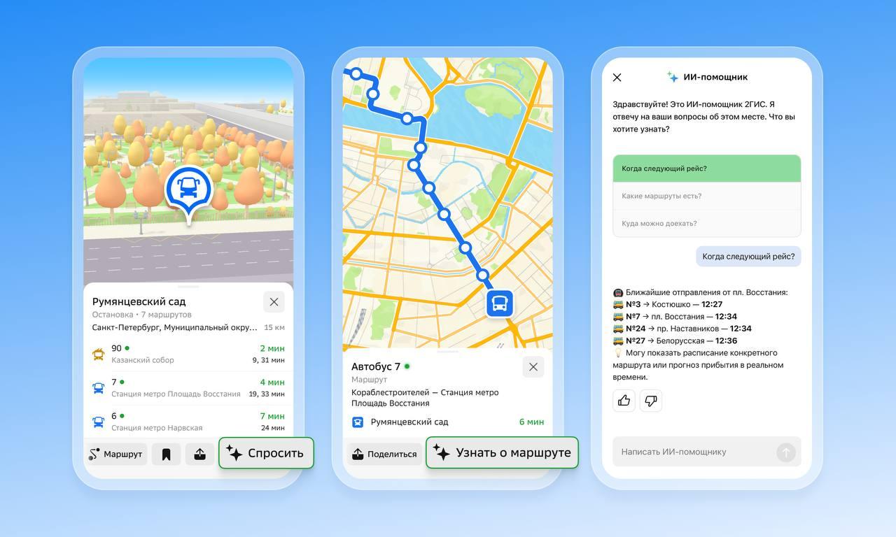
The 2GIS AI assistant now provides information regarding public transportation. Users can inquire about bus arrival times, schedules, ticket prices, transfer options, and navigation routes. This feature is accessible via the Questions tab, which can be opened by selecting a bus stop icon on the map or through the route search function.
The AI generates responses by analyzing 2GIS data, carrier schedules, and real-time transit tracking where available. The assistant can compare travel times between buses and subways, provide departure timing for train stations, and assist with airport travel planning. Users may select from pre-defined queries or input custom questions.
The AI assistant was originally introduced to the 2GIS platform in 2025, initially focusing on urban infrastructure such as restaurants, parks, and medical facilities. The latest update is currently available on the company website and within the mobile applications for iOS and Android.
Beyond navigation support, 2GIS facilitates public transport fare payments in more than 15 Russian cities, including Omsk, Samara, Nizhny Novgorod, and Vladivostok. The application displays available travel options and current tariff information for these locations.