
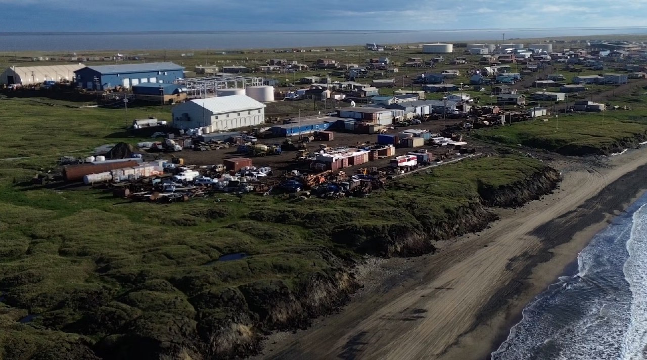
A 2025 study estimated that permafrost thaw could cause $37 billion to $51 billion in damages to buildings and roads in Alaska. Arctic temperatures are rising two to three times faster than the global average, threatening the stability of infrastructure built on frozen ground.
Researchers are testing very low frequency electromagnetic surveying (VLF-EM) using drones to detect subsurface changes. This method identifies areas where ground ice has melted by measuring electromagnetic signals without requiring direct ground contact, which is more efficient than traditional borehole drilling.
A 2026 study of Alaska’s Arctic Coastal Plain projects that by the 2090s, approximately 80% of buildings, 60% of roads, and 90% of pipelines could be at risk of damage due to land subsidence. The risk remains below 10% until mid-century before rising rapidly between the 2060s and 2080s.
The research team is developing digital twins to monitor infrastructure in cold regions. By integrating data from fiber-optic sensors and seismic measurements, these models combine heat-transfer physics and machine learning to forecast how permafrost temperature changes affect structural performance.