

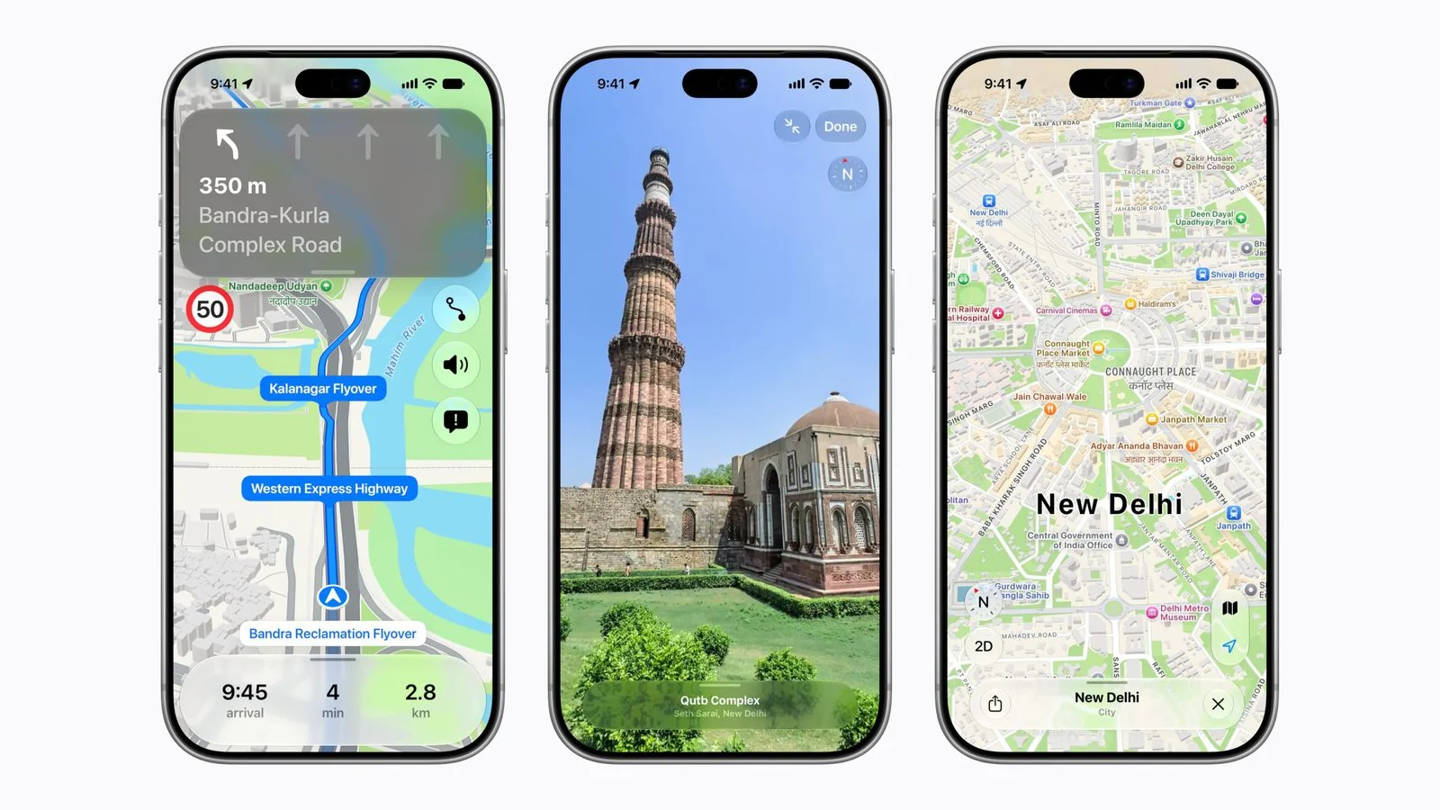
Apple has launched a major update to its Maps service in India, introducing a redesigned interface with improved navigation speed and accuracy. The update features detailed information on roads, buildings, parks, and shopping centers, alongside more than 300 new 3D landmarks.
The service now includes India-specific optimizations, such as natural language guidance that uses local landmarks like gas stations for directions. A bilingual labeling system supports English alongside 10 local languages, including Hindi, Bengali, and Tamil. The Look Around feature and AR walking navigation are also now available in the region.
Additional features include lane guidance, multi-stop routing for up to 15 locations, and cross-device synchronization between Mac, iPad, and iPhone. Users can share estimated arrival times, access cycling directions with elevation data, and plan routes for electric vehicles that include charging stops.
Safety and transit updates allow users to report traffic accidents or speed cameras via Siri. Public transport navigation is now supported in Ahmedabad, Bengaluru, Chennai, Delhi, Hyderabad, Kolkata, Mumbai, and Pune, as well as for the Indian railway network.
To access the new bilingual labels and natural language guidance, users must update their devices to iOS 27.2, iPadOS 27.2, watchOS 27.2, or macOS 27.2 or later versions. The updated maps are available to Indian users starting November 18.